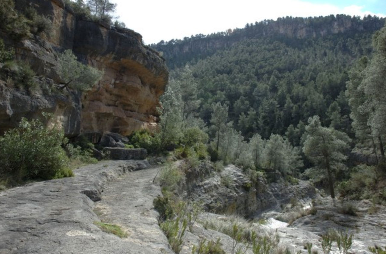
Massís del Caroig
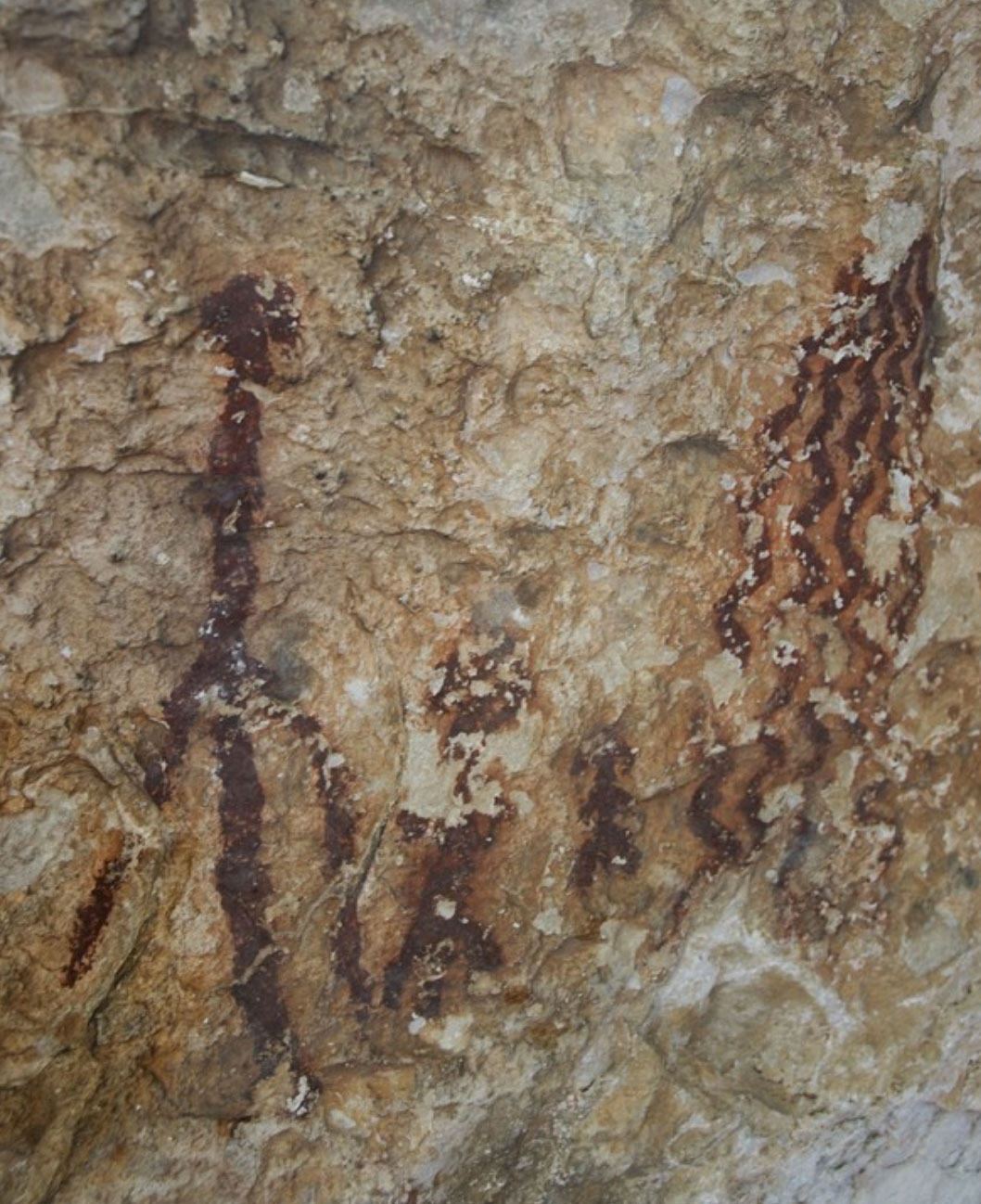
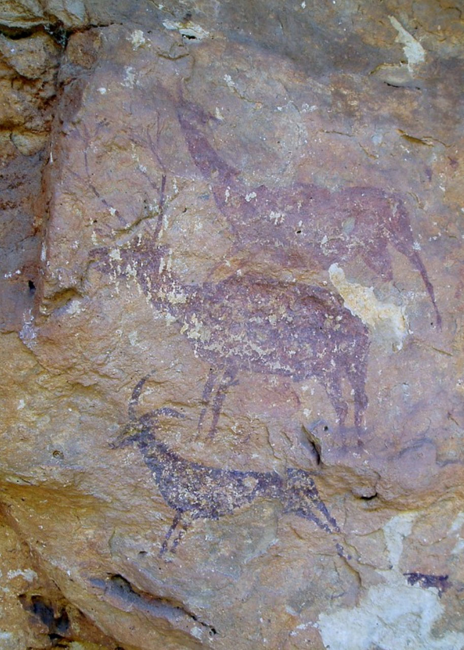
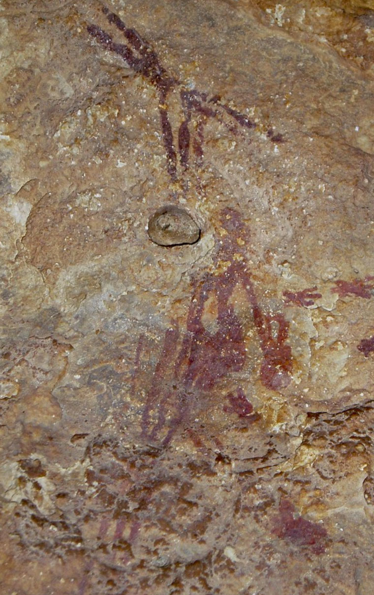
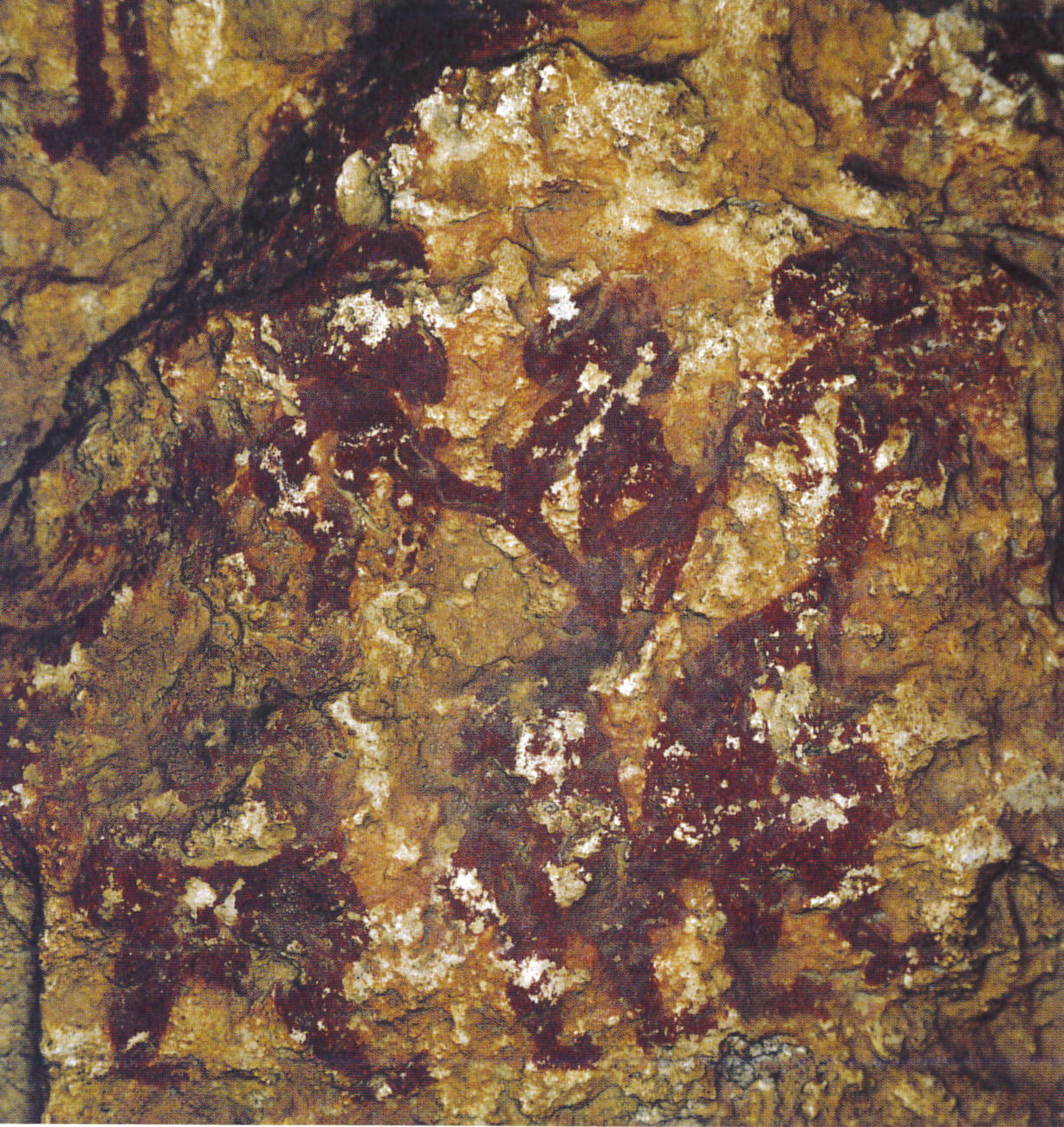
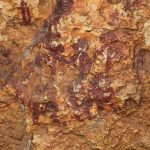
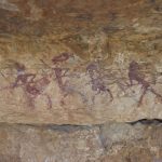
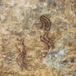
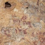
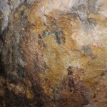
The central Valencian region hosts an important set of shelters with Rock Art, distributed between the Massís del Caroig, the north of the River Xúquer, in the foothills of La Sierra del Caballón (La Canal de Dos Aguas); and to the south in La Serra de Enguera. The pictorial representations are in Levantine and Schematic styles, and located in the municipalities of Millares, Bicorp, Dos Aguas, Quesa, Navarrés, Jalance and Ayora.
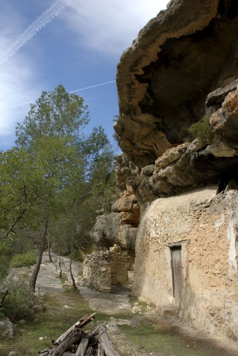
The majority of the sites are concentrated in the municipal areas of Bicorp and Millares. In Bicorp all these sites are to be found: Cuevas de la Araña, Balsa de Calicanto, Charco de la Madera, Era del Bolo, Las Sabinas, Los Gineses, Lucio, Fuente Seca (Tollos I), La Cambriquia (Tollos II), El Garrofero and el Zuro – among others. In Millares the Rock Shelters of Abric del Roser, L’Abric de Vicent, los Chorradores, and El Abric de Trini are worthy of special note.
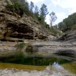
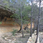
The Ecomuseo de Bicorp coordinates the organisation of a wide range of activities including the option of visits to some of the main places, such as Cuevas de la Araña and the shelters situated in the Barranco Moreno. This ravine is a particularly attractive natural landscape with various enclaves of cultural interest, in particular the shelters with rock paintings (Balsa de Calicanto or Lucio among others). Visits to other sites in the area are also organised by the museum, for example Abrigo de Voro (Quesa) and Abrigo del Garrofero (Navarrés). In the municipality of Millares there is also an extraordinary site of dinosaur ichnites, La Rambla del Tambuc, recognised as an Asset of Cultural Interest.
Explore the area
Gallery
Nature
Sites
Routes
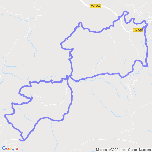
PR-CV-204. Los cuatro ríos-Las Almas
Length: 13 Km (circular)
Time: 3h 15'
Difficulty: Media