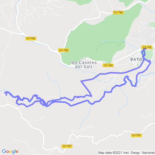
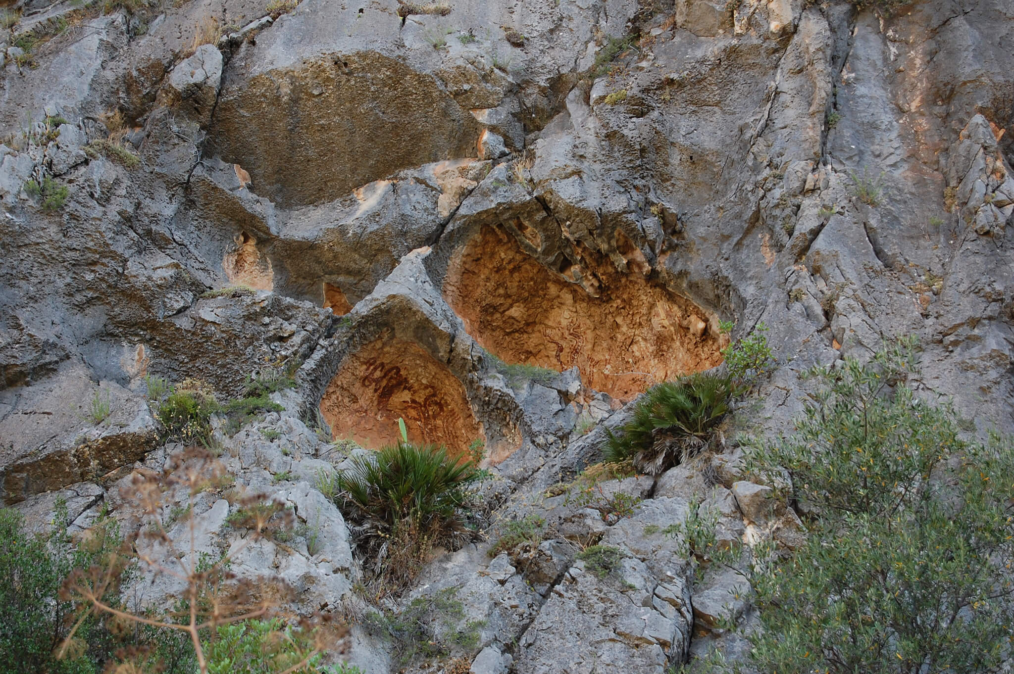
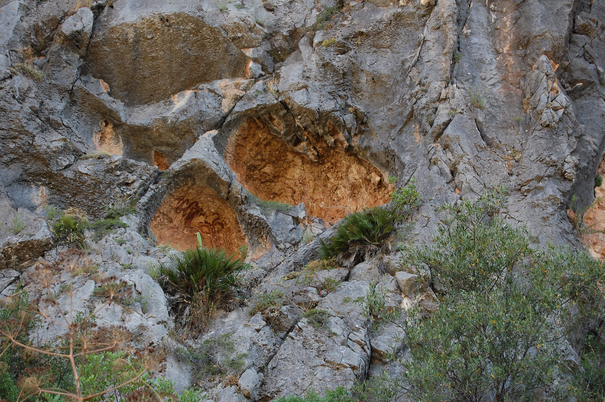
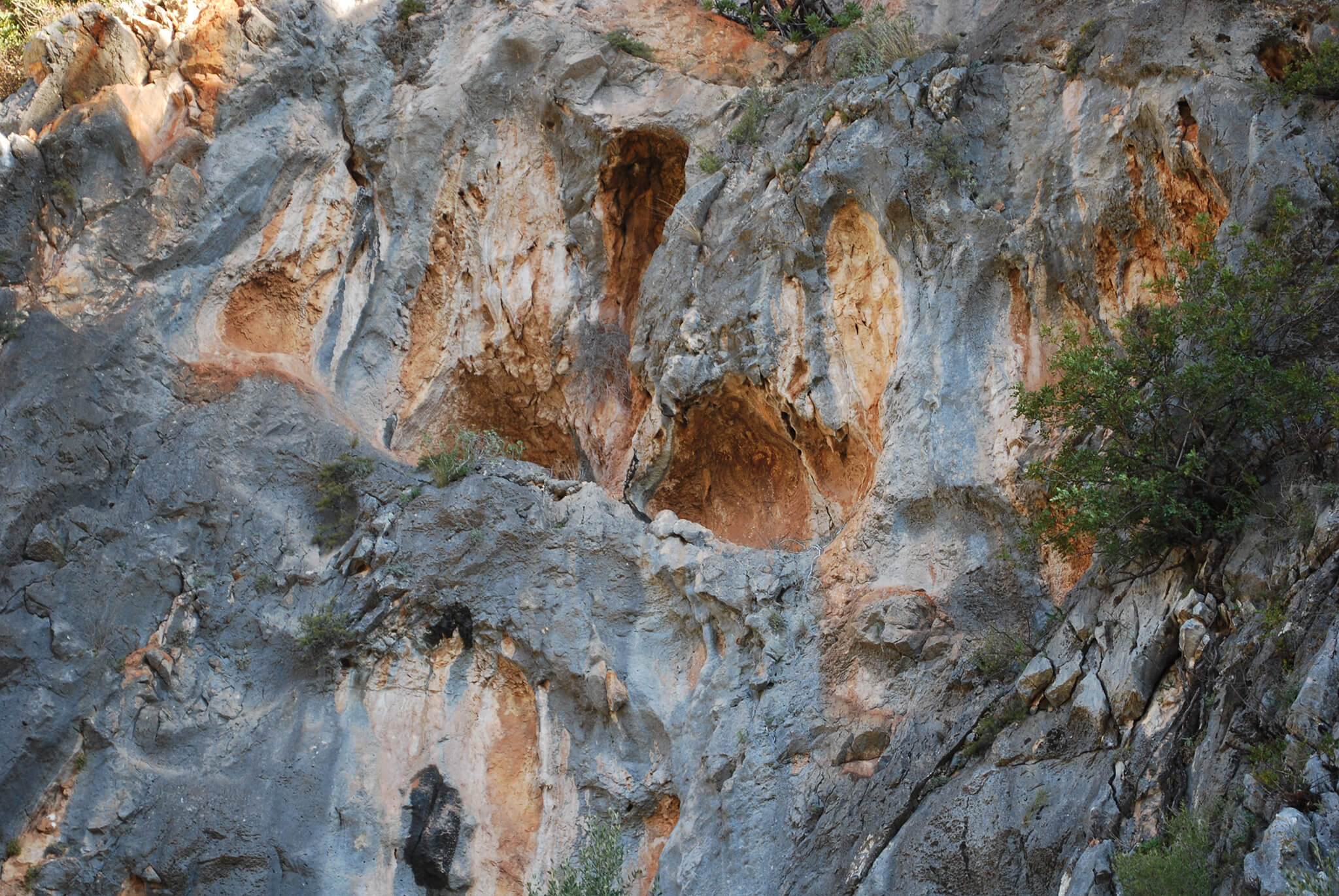
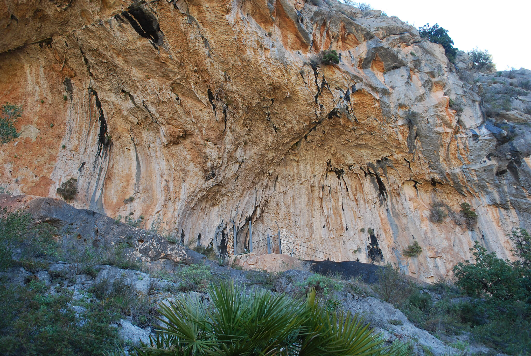
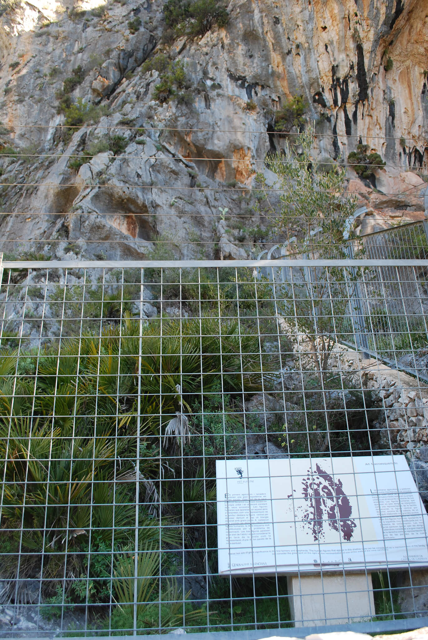
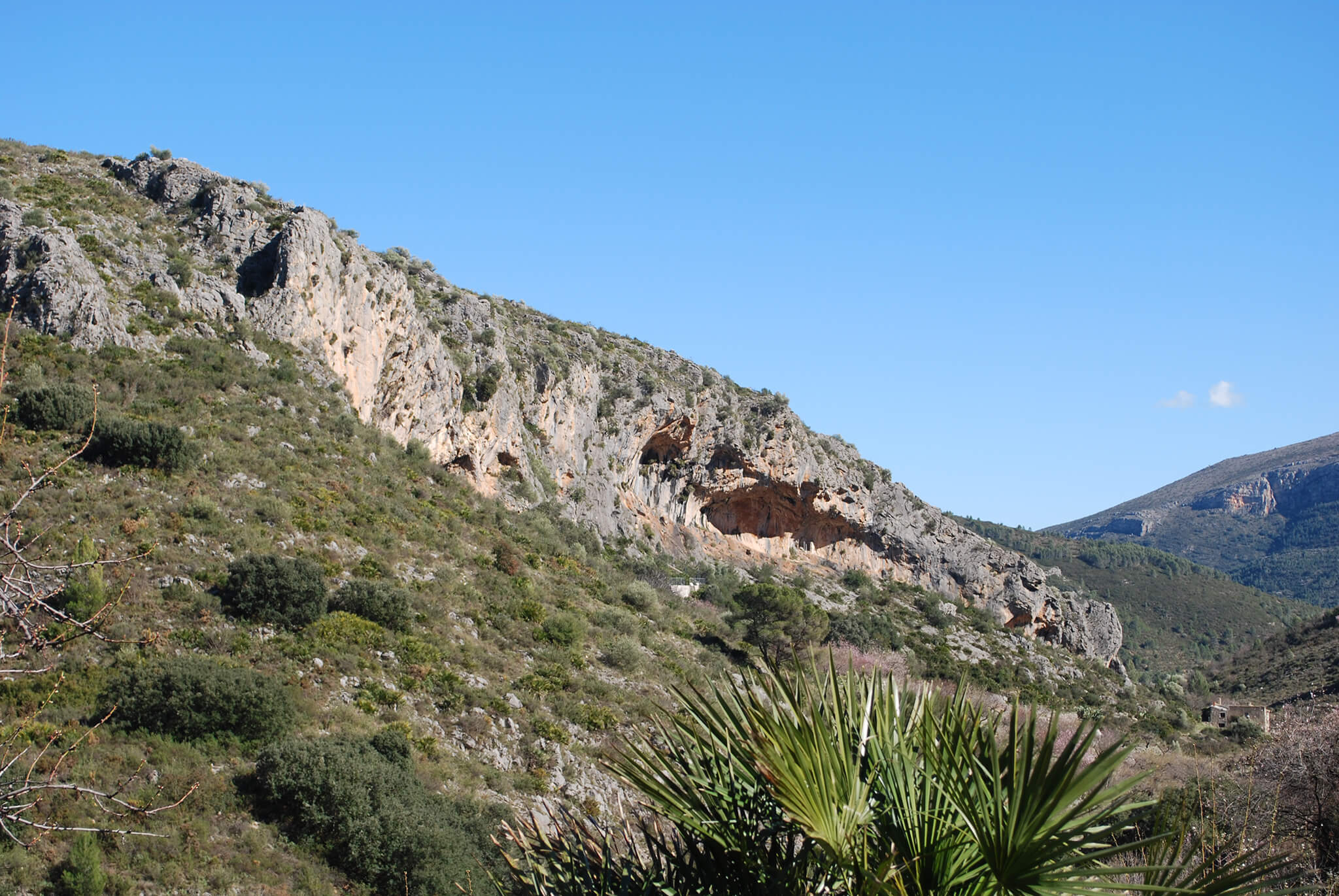
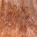
Pla de Petracos
The Petracos Site has an Information Centre in Castell de Castells, administered by the Town Council and the Alicante County Council through MARQ (Museo Arqueológico de Alicante). The set includes a total of 8 shelters in the area known as Pla de Petracos. Most of the representations belong to the aforementioned Macroschematic style, first identified in this location. Among the different compositions we can find human figures and geometric motifs (large-scale meandering and serpentine shapes). Petracos is believed to be a sanctuary of the first farmers and herdsmen, around 7500 years ago.
This deposit belongs to the area Muntanyes d'Alacant
+infoExplore the area
Gallery


Sites
Routes
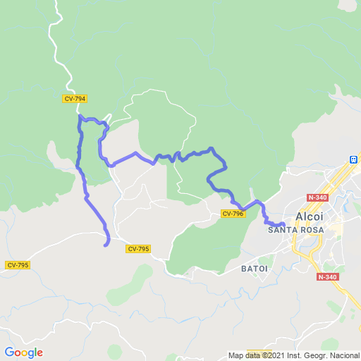
PR-CV 133. Parc Romeral-Castell de Barxell
Length: 8,5 Km (lineal)
Time: 2h 15'
Difficulty: Media
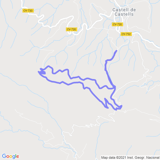
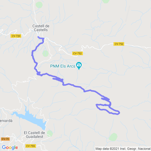
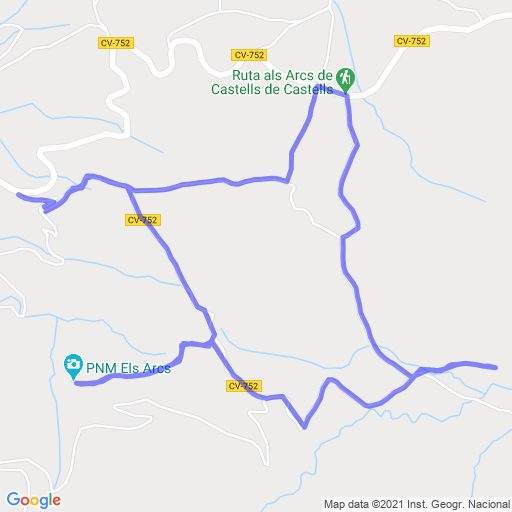

PR-CV 168. Benimassot-Barranc de Malafí-Castells
Length: 35 Km circular
Time: 11h
Difficulty: Media
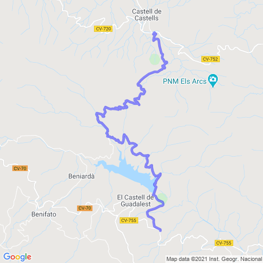

PR-CV 46. Callosa-Tárbena- Castells-Guadalest
Length: 32,2 Km lineal
Time: 7h 20'
Difficulty: Media